
The Sierra Meadows Hydrology Monitoring (SMHM) Program is a scientific project that addresses the current paucity of data, particularly pre-project, quantifying the effects of restoration in Sierra Nevada meadows.
Several state and federal agencies have acknowledged the degraded condition of Sierra meadows and have set ambitious goals for restoration with the intent to effectively monitor, quantify and validate data at a large Sierra-wide scale. This replicable, cost-effective monitoring program provides a robust monitoring protocol that documents pre- and post-restoration hydrologic data for Sierra Nevada meadows at short-, medium- and long-term timescales. More extensive data helps quantify and contrast hydrologic function of degraded and restored meadows to ultimately document the effectiveness of restoration efforts and the overall health of Sierra meadows. This project is funded by the California Wildlife Conservation Board’s Stream Flow Enhancement Program.
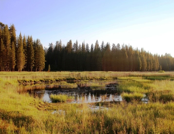
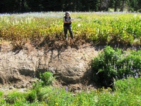
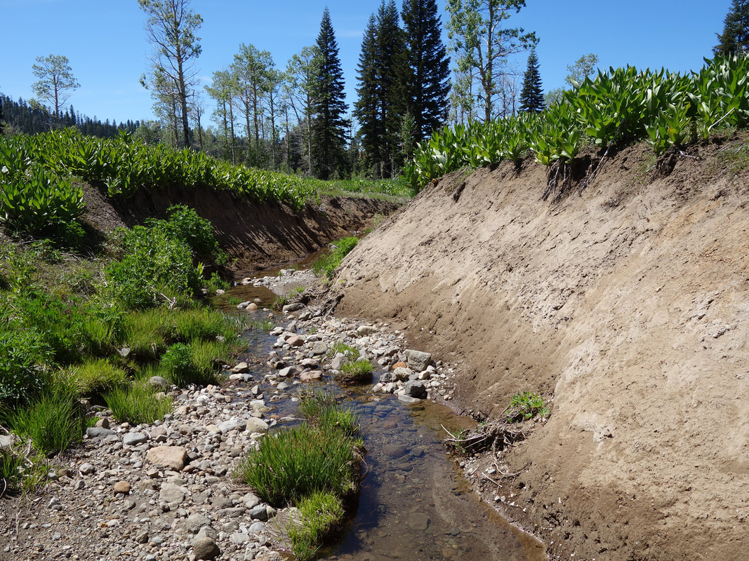
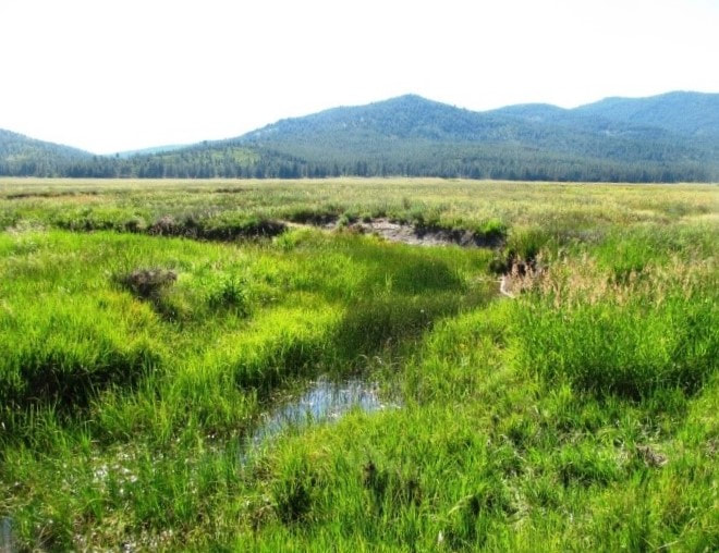
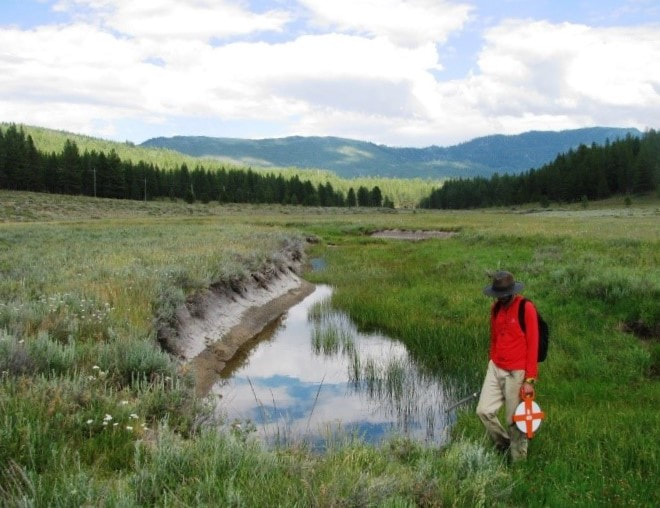
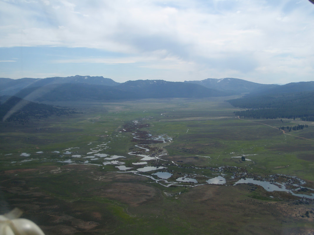
Eight Sierra Nevada meadows, representing a range of watershed characteristics and restoration status, were chosen for this project. Five of the sites represent degraded meadows that were planned for restoration in the next 2 – 3 years. As of the end of 2022, all meadows in the study have been restored. The degraded conditions of the meadows were evidenced by the presence of an incised channel (4 – 10 feet deep) that had lowered the water table, resulting in a conversion of wet or moist vegetation to dry vegetation communities, increased peak flows, and streambank erosion. The data collected for the un-restored sites allowed for pre-project characterization of stream baseline flows, temperatures, vegetation communities, sediment transport and channel morphology that will be compared to post-restoration conditions. Three of the eight sites provide new post-project data on already restored stream reaches, as well as baseline data for future planned projects in the respective watersheds.
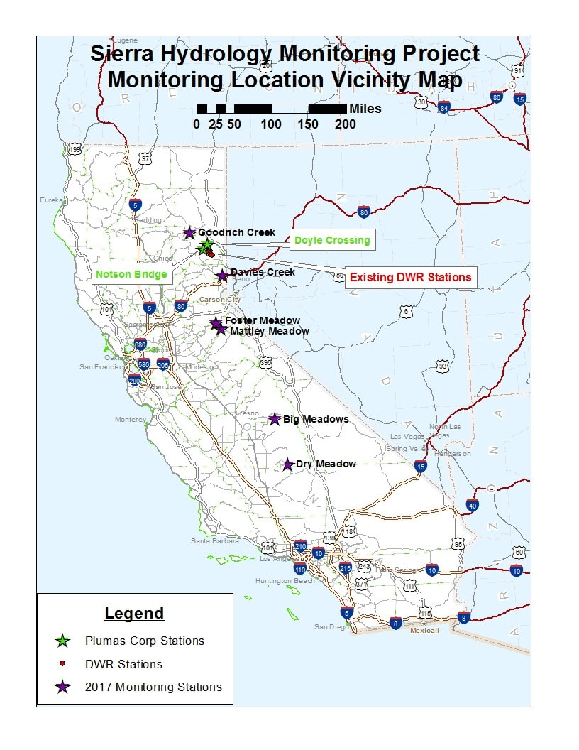
| Meadow Site | Gage Location | Land Ownership | Watershed | Acres | Restoration Status | Monitoring Years |
|---|---|---|---|---|---|---|
| Dry Meadow Bull Run Creek | 35.836742 -118.542582 | USFS Sequoia | North Fork Kern River | 55 | Restored – 2020 | 2017 – present |
| Big Meadows Big Meadows Creek | 36.715692 -118833193 | USFS Sequoia | North Fork Mokelumne River | 165 | Restored – 2007 | 2004 – 2011 2017 – present |
| Mattley Meadow Mattley Creek | 38.468057 -120.128825 | USFS Stanislaus & Private | North Fork Mokelumne River | 45 | Restored – 2022 | 2017 – present |
| Foster Meadow Middle Cosumnes River | 38.589539 -120.255350 | USFS El Dorado | Middle Fork Cosumnes River | 27 | Restored | 2017 – present |
| Sardine Valley Davies Creek | 39.511552 -120.100289 | USFS Tahoe & Private | Little Truckee River | 350* | Restored | 2016 – present |
| Notson Bridge Red Clover Creek | 40.022870 -120.365764 | USFS Plumas & Private | East Branch North Fork Feather River | ** | Restored | 1999 – present |
| Doyle Crossing Last Chance Creek | 40.112867 -120.483038 | USFS Plumas & Private | East Branch North Fork Feather River | ** | Restored | 1999 – present |
| Goodrich Meadow Goodrich Creek | 40.320019 -120.936676 | Private | North Fork Feather River | 772*** | Restored | 2015 – present |
* 350 acres within the larger Sardine Valley are targeted for restoration.
** The Notson Bridge and Doyle Crossing sites are part of a larger long-term monitoring network in the Upper Feather River Watershed that has been maintained by Plumas Corporation and partner agencies since 1999. These two monitoring sites are located further downstream and represent much larger watershed areas that include both restored and un-restored meadows.
*** 72 acres of Goodrich Meadow restored in 2016; plus approximately 700 acres in McKenzie Meadows in the initial planning phase for restoration.
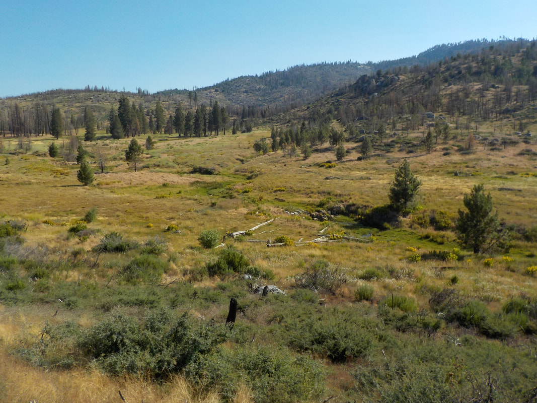
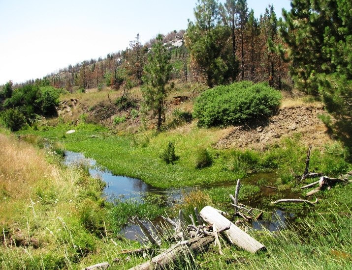
Dry Meadow
Bull Run Creek
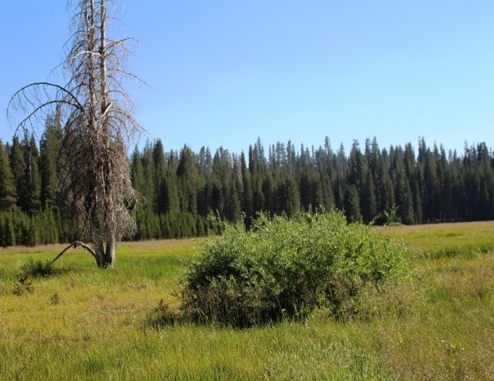
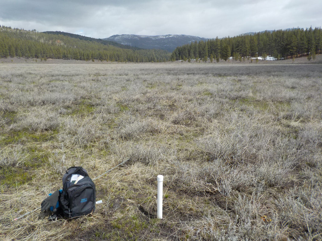
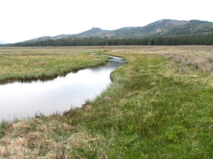
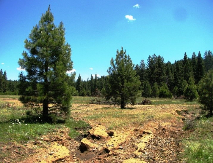
Dry Meadow, the southern-most meadow, is in the headwaters of Bull Run Creek, tributary to the North Fork Kern River. Drainage area above the stream monitoring station is approximately 2.7 square miles and receives 36.3” mean annual precipitation (USGS StreamStats, 2018) and is located at an elevation of approximately 6,500 ft. The Western Divide Ranger District (WDRD), Sequoia National Forest (SQF) categorized Dry Meadow as one of the most severely degraded meadows on the Forest, prior to restoration implementation in late summer of 2020. The goal of the restoration was to restore the physical and biological ecosystem functions of the meadow, utilizing the partial fill restoration technique and a valley grade control structure.
Big Meadows
Big Meadows Creek
The Big Meadows Restoration Project is located in the Sequoia National Forest, Hume Lake Ranger District approximately 56 miles east of Fresno, CA at a mean elevation of 7,600’. Big Meadows Creek is in the South Fork Kings River watershed. The drainage area above the stream monitoring station is approximately 4 square miles and receives 45.9” mean annual precipitation (USGS StreamStats, 2018). Prior to restoration in 2007 Big Meadows Creek was incised in Big Meadows for many years, a presumed result from the combined effects of drainage manipulation and historic livestock grazing. Eight years post-restoration, Big Meadows scored the highest CRAM (California Rapid Assessment Method) score yet documented statewide for wet meadows (EcoAtlas, 2017).
Mattley Meadow
Mattley Creek
Mattley Meadow was restored in 2022 and includes both public and private lands in a remote area near the southwest boundary of the Mokelumne Wilderness on the Calaveras Ranger District (CRD), Stanislaus National Forest. The meadow is at the headwaters of Mattley Creek, a tributary to the North Fork of the Mokelumne River. Mattley Meadow was identified and prioritized as a restoration project by the CRD collaboratively with the Amador-Calaveras Consensus Group (ACCG) in the ACCG Cornerstone Project, a Collaborative Forest Landscape Restoration Project.


Foster Meadow
Middle Fork Cosumnes River
Foster Meadow, a recently restored meadow, is in the headwaters of the Middle Fork Cosumnes River at a mean elevation of 6,800 ft. Drainage area above the monitoring station is approximately 1.7 square miles and receives 55.1” mean annual precipitation, primarily from snow (USGS StreamStats, 2018). Foster Meadow was identified and prioritized as a restoration project by the Amador Ranger District (ARD) of the El Dorado National Forest (ENF) collaboratively with the Amador Calaveras Consensus Group (ACCG). The 27-acre Foster Meadow Project area was delineated by several degraded reaches separated by reaches that were still functional. In addition, a culvert upstream of the meadow was a barrier to aquatic organism passage.
Sardine Valley
Davies Creek
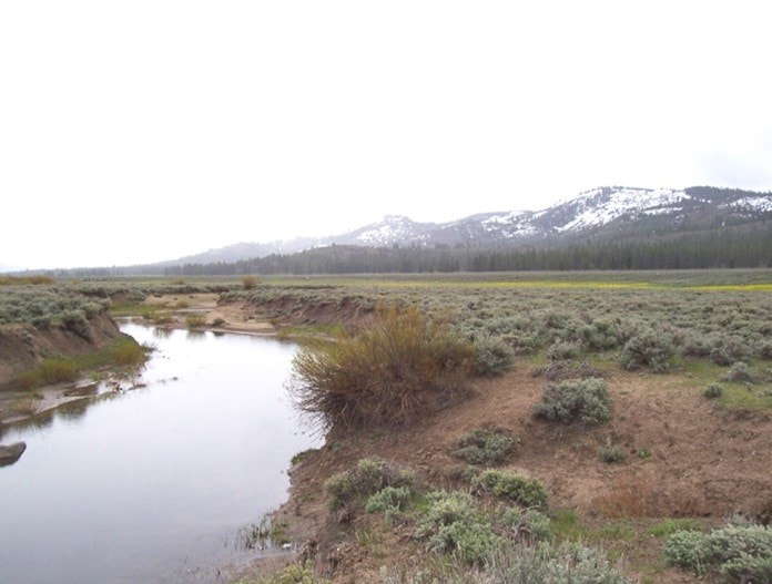
Sardine Valley is a large privately-owned meadow bisected by Davies Creek and surrounded by public forest lands. The U.S. Forest Service – Tahoe National Forest (TNF) and Truckee River Watershed Council (TRWC) have each included the Davies Creek watershed in their respective watershed management strategies, identifying it as a targeted area for restoration of riparian, aquatic, and wetland habitat with the goal of reducing non-point source sedimentation. This project continued the pre-project data collection started by TNF in 2015, and added post-restoration data as of implementation in 2021.”
Notson Bridge
Red Clover Creek
A continuous recording station (CRS) on Red Clover Creek at Notson Bridge was established in October 1999 and has been maintained continuously since installation. Red Clover Creek is tributary to Indian Creek, in the East Branch North Fork Feather River Watershed. The Red Clover Creek watershed has been the focus of meadow and channel restoration activities since 1985. Approximately three miles of channel were restored prior to 1996, with more intensive restoration activity occurring between 2005 and 2013. The cumulative length of channel reconnected to the floodplain above the Notson Bridge station totals approximately 13 miles. Continuing the long-term data collection at this location is important for evaluating the cumulative impact of multiple meadow restoration projects across a variety of water year types, including severe multi-year droughts.
Doyle Crossing
Last Chance Creek
The Last Chance Creek watershed has been the focus of meadow and channel restoration activities since 1995, with the majority of restoration occurring between 2002 and 2007. In total, approximately 11 miles of channel have been reconnected to the floodplain above the Doyle Crossing station. A continuous recording unit (CRS) unit was installed in Last Chance Creek in 1999. Continuing the long-term data collection at this location is important for evaluating the cumulative impact of multiple meadow restoration projects across a variety of water year types, including severe multi-year droughts.

Goodrich Meadow
Goodrich Creek
Goodrich Meadow – Goodrich Creek represents the northernmost site in this suite of Sierra meadows, and is located on private property. Upper Goodrich Meadow, owned by Shasta Forest Timberlands LLC, was restored in the summer of 2016 using a channel fill technique. Groundwater wells were installed pre-project in 2014 and monthly groundwater level data has been collected continuously since (access permitting). Goodrich Creek is a major tributary to Mountain Meadows Reservoir (PG&E) and flows through several un-restored meadow complexes prior to reaching the reservoir. Drainage area above the monitoring station is approximately 34.6 square miles and receives 35.1” mean annual precipitation (USGS StreamStats, 2018).
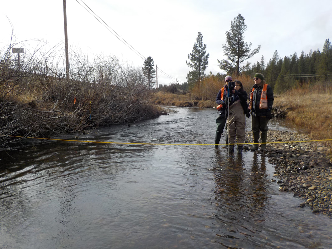
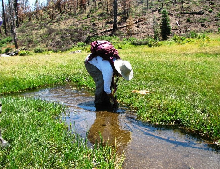
Project Protocol
The methodology of this project was developed based on Plumas Corporation’s extensive experience with long-term hydrologic monitoring in the Upper Feather River Watershed and involvement in developing the Sierra Meadows Strategy proposed Sierra Meadows –Wetland and Riparian Assessment Monitoring Plan (SM-WRAMP), a framework of consistent monitoring protocols and guidelines to assess pre- and post-restoration conditions specific to mountain meadows.To maintain consistency in data collection, work was completed in each of the meadows using the same procedures.

Methodology/Project Design Approach Overview
Geologic Characterization
- Seismic Refraction Surveys for calculating depth to bedrock
- Borehole Augering and Piezometer Installation
- Surface Elevation Control
- Erosion- Sedimentation recordings through channel morphology data
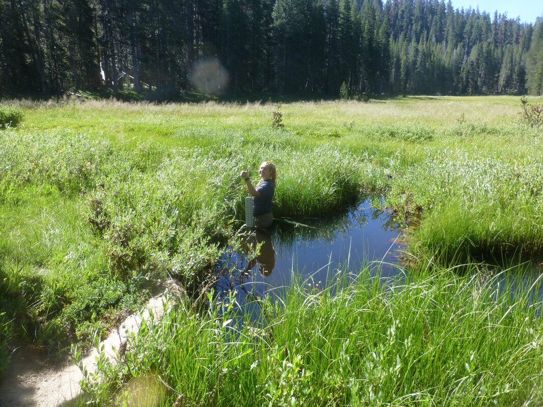
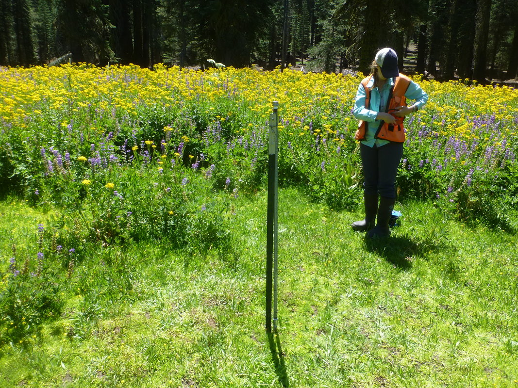
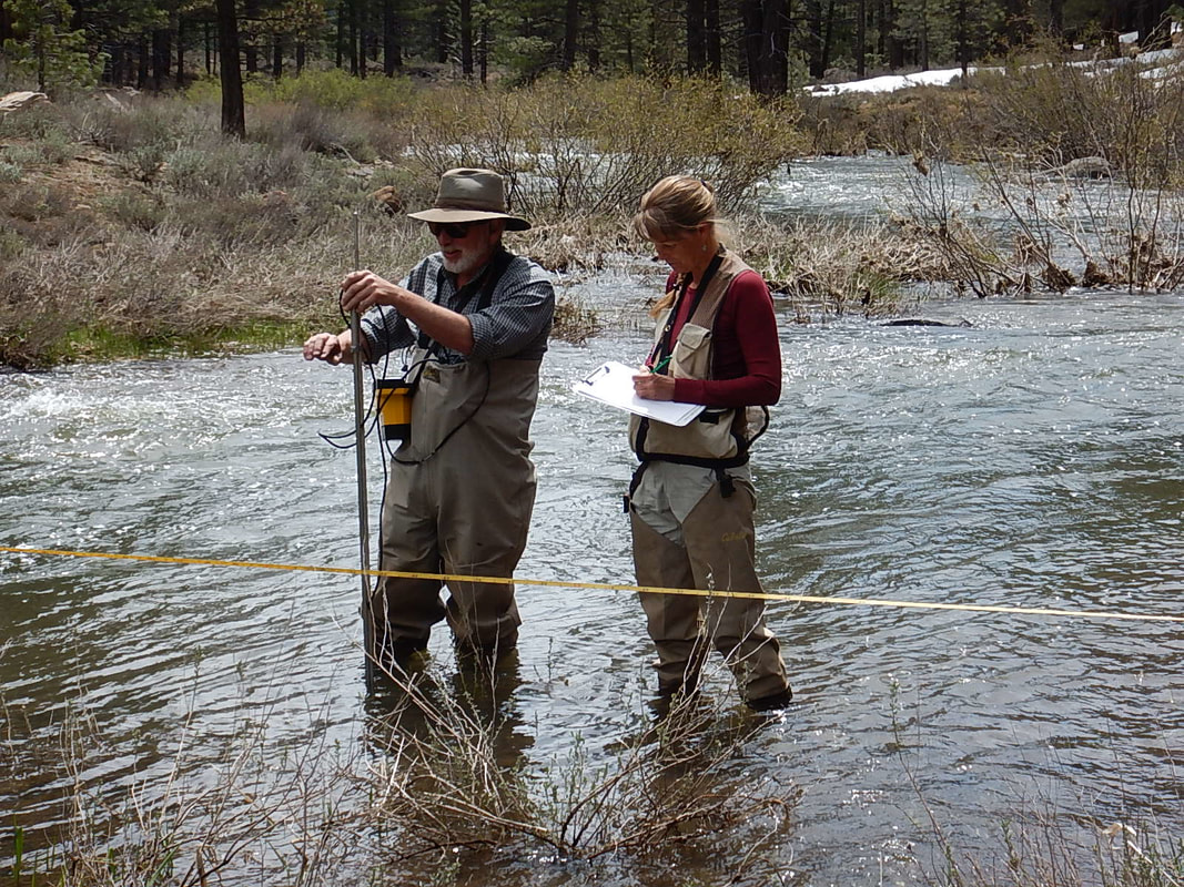
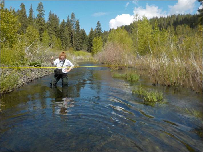
Hydrology -Continuous Monthly Measurements
- Stream Monitoring Stations – Site Determination & Installation
- Flow Measurements
- Oxygen Isotope Analysis and Surface / Groundwater Sample Collection
- Groundwater Wells Measurements for detecting groundwater elevation
- Stream electrical conductivity readings
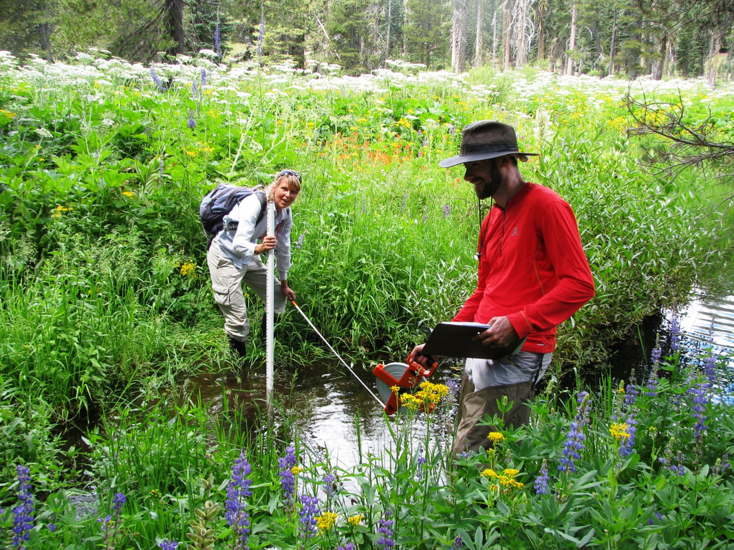
California Rapid Assessment Method (CRAM)
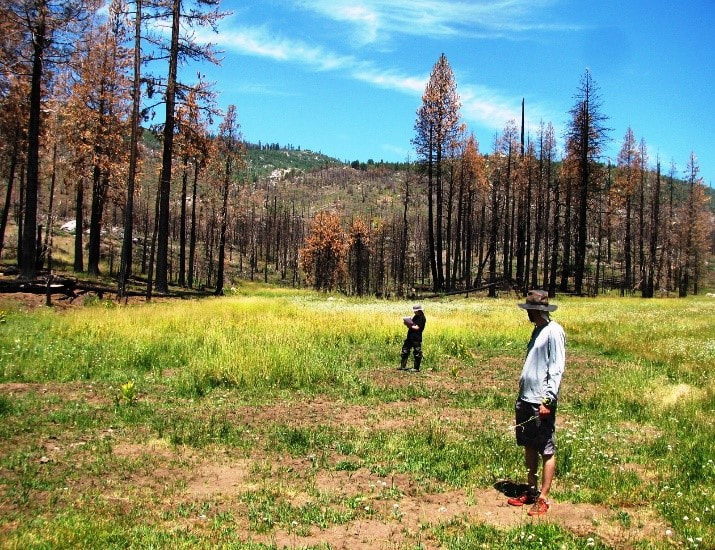
CRAM utilizes visible indicators of physical and/or biological structure of wetlands that can be ranked along a gradient of stress. The method employs a systematic approach to evaluate wetland ecological condition, and scores sites relative to the best reference wetlands in the state. The method requires a team of 2-3 trained practitioners to conduct an assessment in a defined portion of a wetland called an Assessment Area (AA). Three to four Assessment Areas were established within each of the six meadows and were used to evaluate the health of meadow ecosystem as a baseline assessment prior to restoration. The CRAM team assesses visual aspects of condition, organized into four attributes:
- Buffer and Landscape
- Context, Hydrology
- Physical Structure
- Biotic Structure